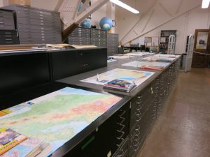
The cartographic materials in the Map Library include over 480,000 maps, 190,000 aerial photographs of Illinois (1935-2005), and atlases and gazetteers. Coverage is worldwide. Generally, the maps and atlases are publications from the nineteenth through twenty-first centuries. A number of facsimile publications are also available for pre-nineteenth century titles.
The Map Library also is home to a circulating book collection focused on the art and science of cartography, history of cartography, all aspects of geographic information science (GIS), remote sensing, spatial statistics, place names, and map librarianship. Books on geography and its many foci are purchased through the Map Library and shelved in the Social Sciences, Health, and Education Library on the first floor of the Main Library building. Purchase suggestions are welcome! Please contact the Map Library directly or use the University Library’s purchase suggestion form to make one.
All of the books and atlases and most of the maps in the Map Library are cataloged and can be identified through the Library’s online catalog. Individuals interested in using cartographic materials are encouraged to contact the Map Library to explore options more fully.
Much of the map collection can be borrowed although there are some restrictions based on age, condition, or format of material. Maps published prior to 1960, mounted on fabric, or encapsulated may not be borrowed.
Cartographic Materials Elsewhere in the University Library
Additional atlases and works about cartographic materials can be found throughout the University Library but primarily in Main Stacks and at the Oak Street Library Facility. The Illinois History and Lincoln Collections Library has a robust collection of maps and atlases for Illinois and the upper Midwest, with special strengths in the nineteenth century, and the Rare Book and Manuscript Library has a collection of early maps and atlases
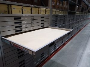 Cartographic materials and supporting titles in the general Oak Street collection (online catalog location = Oak Street Vaults Request Online) can be requested by users through the Library’s online catalog.
Materials in the Map Library’s Oak Street location (online catalog location = Oak Street Map Collection Request Online) must be requested on the user’s behalf by Map Library staff.