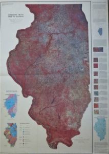
 Remote sensing is exactly what it sounds like: collecting data without touching anything. Remote sensing of the Earth uses a wide variety of cameras, sensors, and satellites. Data can be gathered from as high as a satellite orbiting the planet in space or from as low as a construction crane. Cameras have been attached to hot air balloons, air planes, kites, and birds. If it can fly or float, someone has probably attached a camera or other sensor to it at some point! The data gathered range from simple photographs of objects seen in the visible light spectrum to any wavelength on the electromagnetic spectrum.
Applications of remote sensing include war reconnaissance, spying, collecting climate data, monitoring natural resources, observing activity in deep space, and investigating natural and cultural phenomena (e.g. observing the spread of urbanization or the extent and effects of deforestation or mining).
The United States government funds several programs that perform various remote sensing analyses.
The Landsat Program was launched in 1972 and is currently jointly managed by NASA and the US Geological Society. The program consists of a network of satellites that take photographs of Earth’s surface from space.
The National Oceanic and Atmospheric Administration (NOAA) remotely collects data on Earth’s climates and weather and ocean conditions. The program began as the nation’s first scientific agency in 1807 and has evolved to launch numerous space satellites and underwater exploration missions.
In addition to the Landsat Program, The National Aeronautics and Space Administration (NASA) has numerous orbiting and stationary satellites observing the Earth and much of the universe in general.