The Map Library maintains a comprehensive collection of aerial photographs for all Illinois counties. Coverage for other states is not available, but the library can help in locating other sources of aerial photography.
Please note that aerial stereogram photographs created by the University of Illinois at Urbana-Champaign Committee on Aerial Photography have been scanned and are available, along with a scan of the index book, in the Aerial Stereograms digital collection.
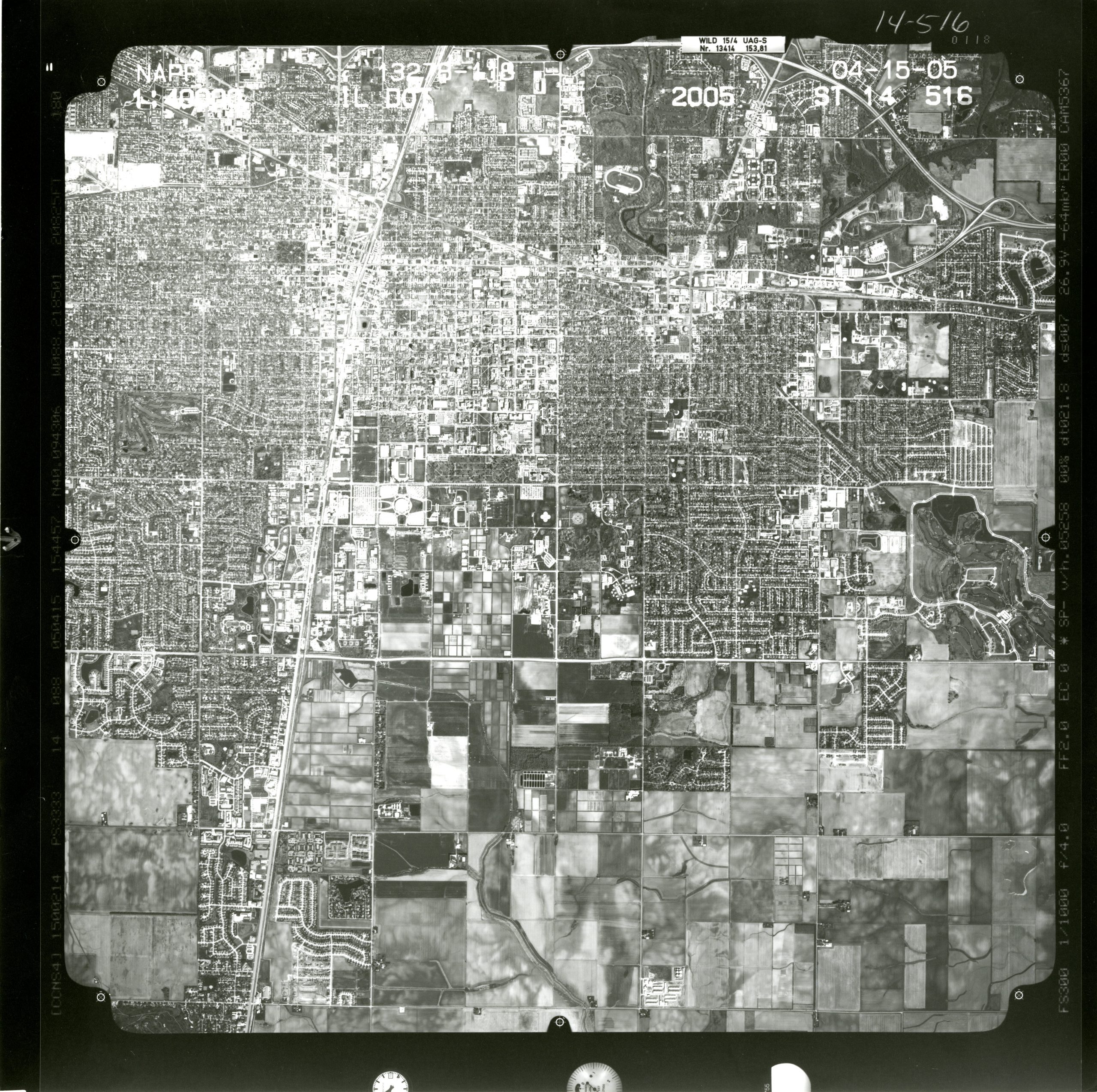
The UIUC Map Library’s collection of aerial photographs covers all Illinois counties. Photographs in the collection were flown between the late 1930s and 2005. All of the aerial photographs are black-and-white prints except for a set of larger-scale color prints of the Chicago Metropolitan Area from 2005. Most of the photos measure 9×9 or 9×6 inches.
Photographs taken prior to 1988 were flown county by county and tend to be at the scale 1:20,000. Photos from 1988 and onward are state-wide flights and are an the scale 1:40,000. Indexes are available for all sets.
Photo Requests
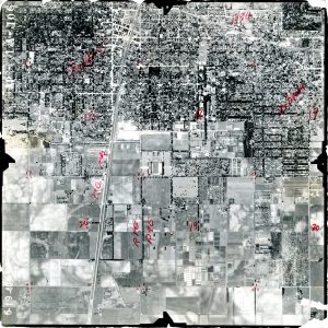
Individuals interested in using aerial photographs are encouraged to visit the the Map Library to view print indexes or to consult scanned air photo indexes online. Unfortunately, Map Library staff are unable to retrieve photography with only a general description of an area of interest; specific photographs must be requested. Aerial photograph users are responsible for using set indexes, either in the Map Library or online, to identify the photographs that they need to examine. Map Library staff are happy to assist with index usage, but the final responsibility for correctly identifying locations and photographs rests with the user.
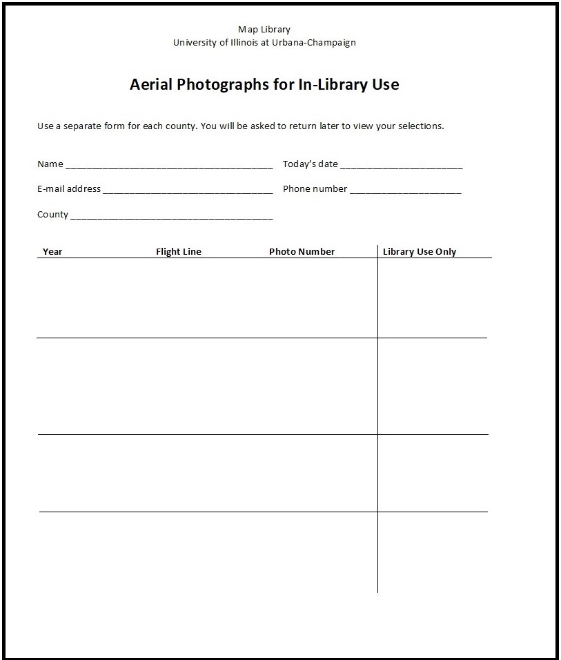
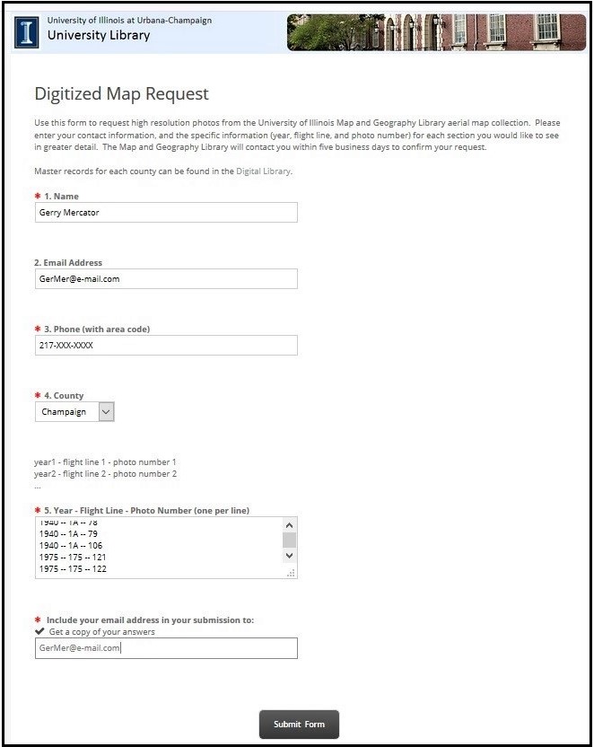
After desired photographs have been identified, patrons must submit a photo request form. A paper form is available in the Map Library and all online index web pages include a link to a web-based request form.
Photos requested via the printed form in the Map Library will be retrieved by Map Library staff and will be ready for viewing in the Map Library two working days after the request was submitted. Map Library staff will send the requestor an e-mail indicating that the photos are available for use.
Photos will be refiled if they have are not viewed within five days of the e-mail. Map Library staff will correspond via e-mail with patrons who have requested photographs through the online indexes. Map Library staff are happy to scan up to five photographs in a request and place the scans in a Box folder for free viewing and download.
Distant library users especially are encouraged to use the online air photo index collection. If planning a visit to the Map Library, please call (217-333-0827) or e-mail well in advance (at least 10 working days) to verify that the Map Library will be open and adequately staffed to expedite requests. Map Library staff will attempt to expedite pulling requested photographs for visitors from out of town if the requests are received prior to 10:00am.
Using Air Photos
The aerial photograph collection is a non-circulating collection. Air photos must be used in the Map Library. Please speak with the unit head if there are extenuating circumstances impacting in-library air photo use. A large tabletop scanner is available for use in the Map Library at no charge; a flashdrive is required to save images.
Air photo users are firmly reminded to not write on photographs or to apply tape or other kinds of adhesives. The markings already present on some photographs are from field use by previous agency owners prior to Map Library ownership.
Magnifying glasses also are available during regular library hours at the Map Library’s circulation desk.