 Aerial photograph interpretation and use is different from map reading. Unlike most maps, aerial photographs usually do not have any words or labels on them.
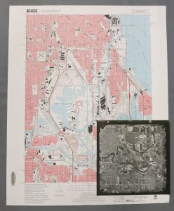
Known locations sometimes are difficult to find without labels so using a reference map side-by-side with aerial photographs is always helpful.
The passage of time can play a role in being able to positively identify a site. It can be difficult to identify a location that 65 years ago was an open field when today it is a busy urban intersection. Consider working backwards from the present to the desired time. Find the desired location on a photograph that shows a familiar landscape then view photos of the same area in reverse chronological order, identifying features that change or disappear as time is unwound while staying geographically tethered.
Features on air photos need to be identified using clues given by different characteristics: size (relative and actual); shape; shadows; pattern; tone (shades of gray) and color; visual texture; and site context or association. These important aspects are briefly described in a Wikipedia article on interpretation.
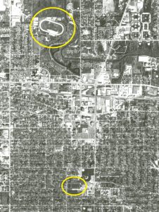
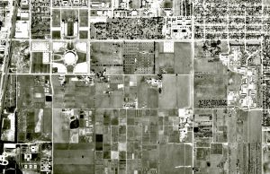
Photo Orientation
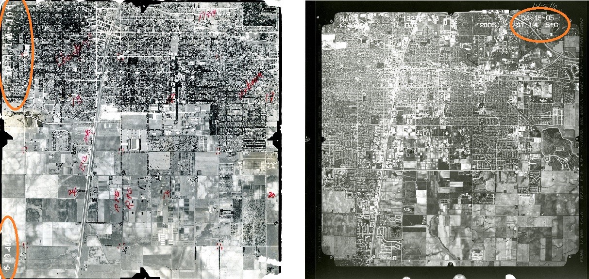
Knowing the direction of the flight lines will help identify the north edge of Illinois aerial photographs. Do not assume that the identifying information is on the north, and thus right reading.
Photographs from Illinois statewide sets (1988-2005), all flown with north-south flight lines, always have identifying information such as photo number, scale, and date of flight on the north edge of the photograph.
County sets (pre-1988) may have flight lines that run north-south or that run east/west. North-south flight lines will have identifying information on the north edge while east/west oriented sets will have identifying information on the west edge of the photographs.
Air Photo Overlaps
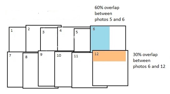
An essential component of aerial photography production is the overlapping coverage of adjoining photographs. Generally, the overlap within a flight line (the forward overlap) is approximately 60% wihle the overlap between photographs in adjoining flight lines (the lateral overlap) is approximately 30%. These overlaps cause features to be photographed multiple times from slightly different angles. These offset images, either 2 separate photographs (a stereopair) or a pair of photographs printed side-by-side) can be viewed through stereoscopes to give the illusion of heights or depths.
A few small pocket stereoscopes and a larger mirror stereoscope are available for use at the Map Library’s circulation desk.
Books About Air Photo Interpretation
Quick Link
Remote Sensing Books & Journals
Aerial Photography and Image Interpretation by David P. Paine and James D. Kiser (2012)
E-book
Remote Sensing and Image Interpretation by Thomas M. Lillesand, Ralph W. Kiefer, and Jonathan W. Chipman (2015)
Small-Format Aerial Photography: Principles, Techniques, and Geoscience Applications by James S. Aber and others (2019) (E-book)
Barnstorming the Prairies: How Aerial Vision Shaped the Midwest by Jason Weems (2015)
E-book
Fundamentals of Remote Sensing and Airphoto Interpretation by Thomas Eugene Avery and Graydon Lennis Berlin (1992)
Basic Photo Interpretation by Michael E. Rasher and Wayne Weaver, USDA Soil Conservation Service (1990)
Text and accompanying set of practice photos created as instructional materials for the Soil Conservation Service
Online Air Photo Interpretation Resources
Introduction to Air Photo Interpretation
Clear explanation of characteristics examined when interpreting air photos from Natural Resources Canada