The Eugene D. Derdeyn Map Collection contains over 500 maps, manuscript and printed, created by Eugene Derdeyn and his company, the Perspecto Map Company. The company archives, representing 30 years of art and cartography, was gifted to the Map Library by Mr. Derdeyn in 1990.

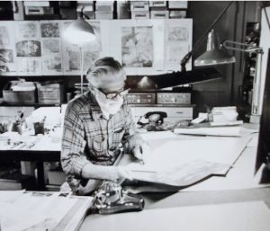
Eugene Derdeyn was born in Natchez, Mississippi, in 1929. His interest in graphic arts began early; he enrolled in a correspondence art school, Art Instruction, Inc. located in Minneapolis, while in high school. Prior to his enrollment in the American Academy of Art and the School of the Art Institute, both in Chicago, he worked as a motion picture projectionist and was self-employed selling portraits and frames in the southern United States. Derdeyn’s attendance at the School of the Art Institute was interrupted for two years while he served in the United States Army. During this time he worked as an illustrator at Fort Jackson, South Carolina, and in Korea. After his military service, Derdeyn worked as a painter for posters and bulletin boards in Natchez for a short time. He returned to Chicago in 1957 as a commercial artist employed by the Pontiac Graphics Company. A year later, he moved to Encyclopaedia Britannica Films where he was an animation artist for motion pictures and slidefilms (film strips). Mr. Derdeyn founded the Perspecto Map Company in 1967; the company was located in Richmond, Illinois. All of Mr. Derdeyn’s prior experiences made him uniquely suited to head a company that focused on mapping and visual communication. The Perspecto Map Company was Eugene Derdeyn’s life work until his death in 1993.
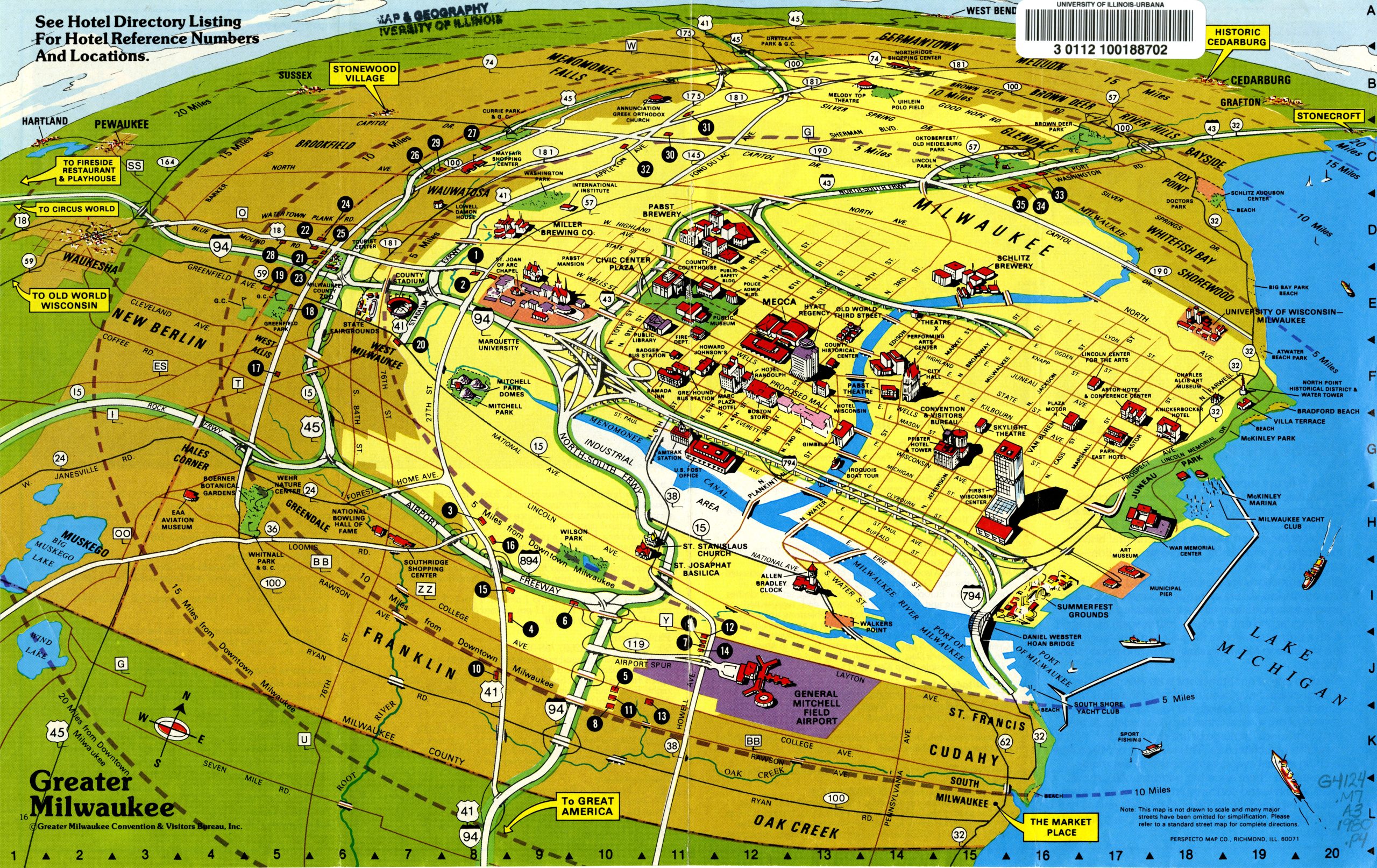
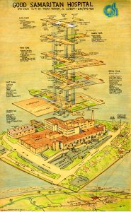
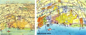
Perspeco Map Company provided a “unique map service which combin[ed] illustration and cartography to produce graphic THREE DIMENSIONAL MAPS. Aerial views show roads in scale receding to the skyline with structures in relief.” Mr. Derdeyn trademarked the term PERSPECTOVISION to describe his maps.
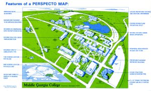
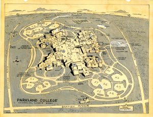
The Perspecto Map Company created maps of towns; business districts; airports; corporate and college and university campuses; and hospital buildings. The collection includes more than 200 college and university campus maps. Corporate clients included publishers such as Scott Foresman and the Encyclopeaedia Brittanica Educational Corporation, a number of car rental companies, chambers of commerce, and convention bureaus.
PLEASE NOTE: Cataloging and updating of records is underway and searching for the collection name in the online catalog, at this time, may not yield complete results. Try searching “Derdeyn, Eugene” or “Perspecto Map” for a fuller view of the collection’s contents.