
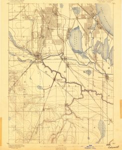
Topographic maps show the rise and fall of the land surface (relief), usually using contour lines which are isolines connecting points at the same elevation. They can show natural and man-made features including, but not limited to: land forms, surface water or drainage, areas covered by forest, administrative areas such as counties and townships, towns, and a wide variety of transportation methods (i.e., roads, railroads, telephone lines, pipelines). Topographic maps also often include at least one location description method such as latitude/longitude or state plane coordinates.
Topographic maps can be used for outdoor activities such as hiking, camping, and biking and are essential for urban planning, emergency response, and resource management. Often, topographic maps serve as the base layer for maps showing natural resource topics like geology, land use and land cover, flood prone areas, and soils.
Topographic maps, especially those in large sets, are typically produced by national or federal government agencies. Government producers can be either civilian or military agencies. Counties establish different mapping needs or priorities which are met in different ways.
Topographic maps at the UIUC Library are housed in two places, the Map Library and the Oak Street Library Facility. Regardless of location in the UIUC LIbrary, the Map Library is the place to ask about topographic maps.
The Map Library holds copies of all editions of US Geological Survey 1:24,000-scale topographic maps for Illinois and the most recent edition of 1:24,000 scale topographic maps for all other states. All editions of US Geological Survey 1:62,500- and 1:125,000-scale topographic maps are also in the Map Library. Also in the Map Library: 1:50,000-scale maps of Canada and Mexico, 1:250,000-scale maps of the world, and an assortment of other small-scale (less detailed) sets.
The Library’s Oak Street Facility houses superseded editions of US Geological Survey topographic maps for non-Illinois states and a wide assortment of large (more-detailed)- and medium-scale sets for regions and nations throughout the world. The topographic maps at Oak Street must be requested for use in the Map Library by a Map Library staff member. Staff members can assist in determining coverage availability using paper indexes and collection inventory lists.