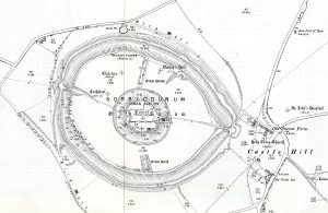
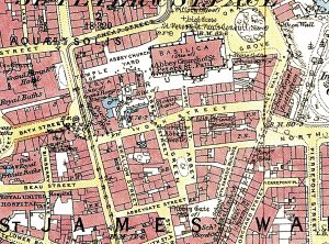
The Roger Hellyer Collection of Alan Godfrey Facsimiles is an extensive collection, comprised of more than 3,500 sheets, of reduced-scale facsimiles of Great Britain Ordnance Survey maps. The original scale of the maps was 1:2,500, approximately 25 inches to 1 mile; the reduced-scale facsimiles are at a scale of approximately 1:4,500, or 14 inches to 1 mile.
The reproduced maps cover: England, Scotland, Wales, Ireland, and the Isle of Man. Additionally a 1:63,360 (1 inch to a mile) set for England and Wales and a separate set for Ireland are included in the collection as are some maps of Normandy Beach on D-Day and selected German cities during World War II. Most of the maps are black-and-white.

The collection was gifted to the Map Library by Roger Hellyer, a scholar on the history of the maps produced by the British Ordnance Survey. Many of Mr. Hellyer’s authoritative works were published by the Charles Close Society; some are available in the Library’s collection.
The size and scope of the collection is unique among map collections found in North America. The collection is completely cataloged and its full contents can be identified through the Library’s catalog by searching Roger Hellyer Collection of Alan Godfrey Facsimiles. The maps are primarily cataloged in county-based groups; search for Alan Godfrey Hertfordshire to see an example.
Individual sheets, typically named for the town or city appearing on them, can also be searched; search for Alan Godfrey Weymouth as an example. Individual sheets are listed in each county-level catalog record.
The maps in this collection may be borrowed.