Illinois Aerial Photography Web Resources
Other Aerial Photography Web Resources
The Map Library maintains a comprehensive collection of aerial photographs for all Illinois counties. Coverage for other states is not available, but the library can help in locating other sources of aerial photography.
Please note that aerial stereogram photographs created by the University of Illinois at Urbana-Champaign Committee on Aerial Photography have been scanned and are available, along with a scan of the index book, in the Aerial Stereograms digital collection.
UIUC Air Photo Holdings by County
The earliest aerial photography in the collection is from the late 1930s, and the most recent is from 2005. Photographs taken after 1988 are at the scale 1:40,000; those taken prior to 1988 tend to be at 1:20,000. All aerial photographs are in black and white except for 2005 photos of the Chicago Metropolitan Area. Most of the photos measure 9×9 or 9×6 inches. The Library does not hold the negatives. Photographs taken before 1988 were done on a county-by-county basis; photos taken in 1988 and after were taken as part of a state-wide flight. Indexes are available for all sets to identify specifically needed photographs.
Using Aerial Photography
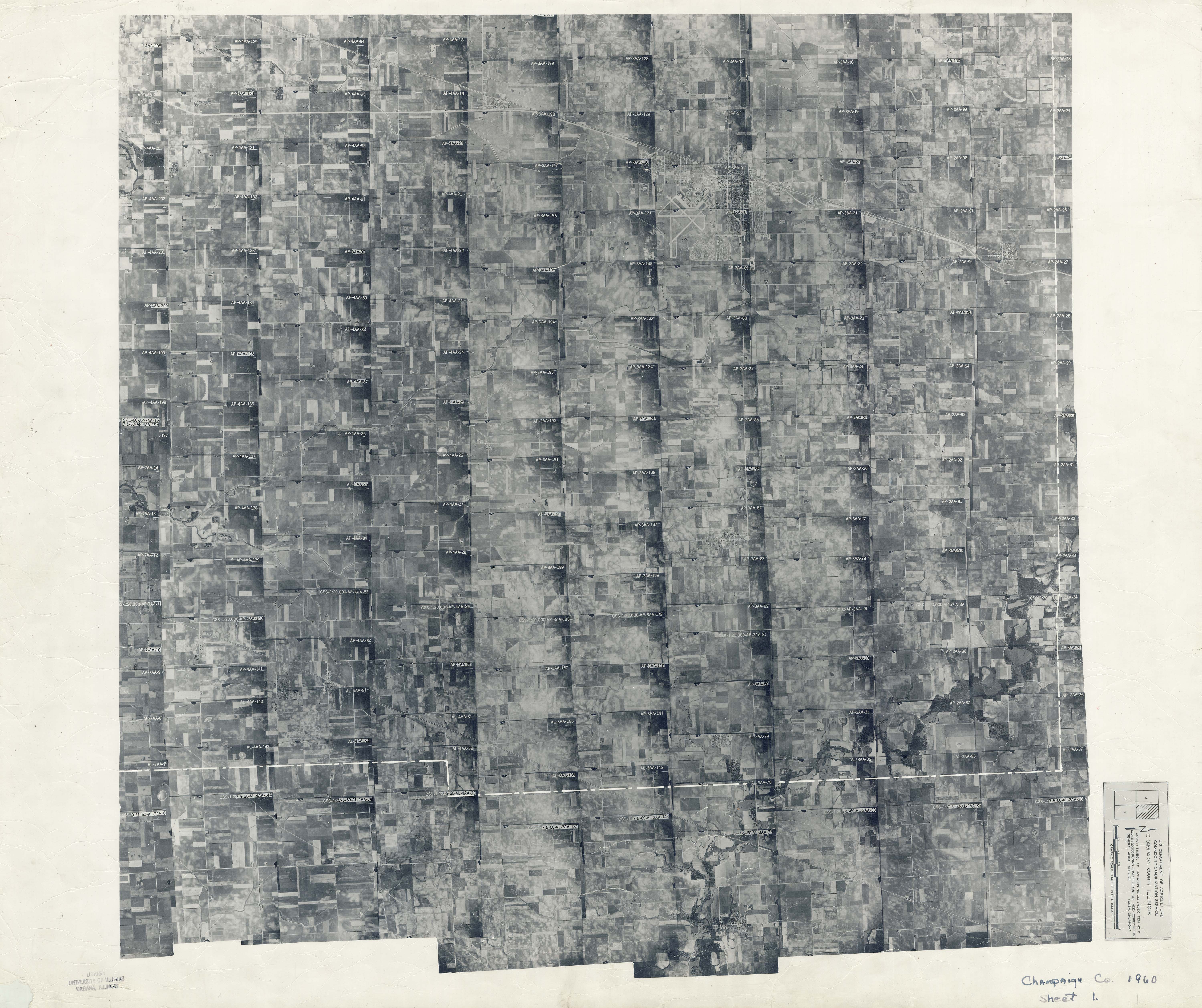
Map Library employees are unable to retrieve photography with only a general description of an area of interest; specific photographs must be requested. Finding photos for an area in Illinois requires consulting indexes (see index example ) for the relevant counties and completing a photo request form . Aerial photograph users are responsible for using set indexes to identify the photographs that they need to examine. Library employees are happy to assist with index usage, but the final responsibility for correctly identifying locations and photographs rests with the user.
When desired photographs have been identified, patrons must submit a photo request form to Library staff. Once a request has been submitted and the photographs retrieved from the collection, users have five days in which to come to the Map Library to use them. If the requested items have not been used for five days, the items will be returned to their files and a new request will have to be submitted in order to view them.
Aerial photograph users are firmly reminded to not write on photographs or to apply tape or other kinds of adhesives. The markings already present on some photographs are from field use by previous agency owners prior to Map Library ownership.
Stereoscopes allow aerial photograph users to visually combine two overlapping photographs so that features common to both photographs can be seen in three dimensions. A few small pocket stereoscopes are available for use at the Map Library’s circulation desk. A larger mirror stereoscope is available 9:00 am-5:00 pm, Monday through Friday.
Two magnifying glasses are available during regular library hours at the Map Library’s circulation desk.
Air Photo Indexes Online
The Map Library has scanned all of the its indexes for Illinois county aerial photography sets flown between 1935 and 1987; they are available for use through the Library’s Digital Collections. Library users, especially those at a distance from Champaign-Urbana, are encouraged to use the scanned indexes to identify needed photographs and to request photographs through the web-based request form. The link to the form appears on each index sheet’s webpage. Once photographs have been retrieved from our files, the Map Library will contact requesters regarding in-library use or scanning.
Copying Aerial Photographs
Aerial photographs are non-circulating items, but they may be reproduced . The Map Library has a desktop scanner that patrons may use free of charge to scan small numbers of photos (ten or fewer). Please bring a flash drive if you plan to use the Map Library’s scanner. To scan larger numbers of items, please speak to Library staff to make arrangements to bring in desktop scanning equipment. Additionally, on weekdays, patrons with a current UIUC ID card may borrow up to fifty photographs for short time periods to scan in offices elsewhere on campus. Photographs borrowed through this mechanism must be returned by 4:30 p.m. on the day borrowed. Late photographs will be assessed a per item fine of $2.00 per hour overdue.
The Library’s Digitization Services (415 Library, 217-244-2062) can digitize, scan, and photograph items upon request. Their website has a service price guide, a reproduction request form, and additional contact information for the department. Turnaround time on requested services is usually 10-15 business days. Please consult with the Map Library staff if you are interested in this reproduction option.
Information for Distant Users
Map Library staff are unable to consult indexes for distant users. Individuals interested in using aerial photographs are encouraged to come to the Map Library Monday through Friday between 9:00 a.m and 4:30 p.m. during Spring and Fall semesters (1:00 p.m. and 4:30 p.m. during the summer and holiday breaks). Map Library staff will attempt to expedite pulling requested photographs for visitors from out of town if the requests are received prior to 10:00a.m. Please call or e-mail well in advance of a visit (45 working days) to verify that the library will be open and adequately staffed to expedite requests. If you are unable to visit the Map Library, consider using the scanned aerial photograph indexes described above.
Print Aerial Photo Texts
The Library owns a number of texts on aerial photography and aerial photography interpretation including:
Interpretation of Airphotos and Remotely Sensed Imagery . By Robert H. Arnold.
“From recent developments in digital image processing to the next generation of satellite systems, this book provides a comprehensive introduction to the field of remote sensing and image interpretation. This book is discipline neutral, so readers in any field of study can gain a clear understanding of these systems and their virtually unlimited applications.”
Fundamentals of Remote Sensing and Airphoto Interpretation . By Thomas Eugene Avery and Graydon Lennis Berlin.
“This book introduces readers to the detection, identification, and analysis of objects and features through remote sensing and photographic interpretation.”
Illinois Aerial Photo Web Resources
Illinois Digital Orthophoto Quadrangles
Some DOQs available for free download.
Digital Illinois Historical Aerial Photography
Scans of pre-1942 photographs. State coverage not yet completed.
Illinois Geospatial Data Clearinghouse
Includes links to 1998-2011 quarter quads and orthophotos.
Vintage Aerial — Illinois
Oblique aerial photography.
Other Aerial Photo Web Resources
Aerial Photography Field Office, USDA (Salt Lake City)
Sells photography flown by USDA agencies from 1955 to the present including NHAP and NAPP. Order prints directly from office; order forms and pricing information available at site. To view their catalog, click Imagery Products under Browse by Subject, then select Imagery Catalogson the left. You can then select the catalog you want.
Cartographic Archives and Architectural Division, National Archives and Records Administration
Holds pre-1955 USDA photography plus early photographs from other Federal agencies and photography taken during World War I and II. Users must consult with Archive staff to determine material availability, then order reproductions through private vendors.
EROS Data Center (Sioux Falls, SD)
Houses and distributes remotely-sensed data, NHAP and NAPP photography, and USGS digital cartographic data. Use EarthExplorer, PhotoFinder, and MapFinder to determine product availability.
USGS Photo Library Archive
A small sample of less than 10 percent of photographs from the USGS collection. Mostly obliques.
The Remote Sensing Core Curriculum
Resources on remote sensing for K12 teachers. Sponsored by NASA, The National Center for Geographic Information and Analysis, and International Society for Photogrammetry and Remote Sensing. Hosted by the University of Minnesota
USGS air photo information
Includes fact sheets, FAQs, and sample photographs
Terraserver
USGS air photos and topographic maps. Sponsored by Microsoft.