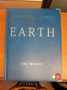
An atlas is a collection of maps that are usually bound together and have a connecting theme, such as natural resources in an area or geography, like the U.S. state atlases that many families take with them on vacation. The information contained in atlases varies widely atlas to atlas and, as with many maps, may also heavily reflect the biases of their publishers.
Because atlases vary so much in theme and information, you may find the following questions useful when deciding if a given atlas is right for your needs.
- Do the maps cover the complete geographic area you are interested in?
- What data are included with the maps?
- Are the map scales clear and understandable?
- What map projections are used, and are they explained?
- Are the maps from the time period you are interested in?
- Does the atlas include non-map features?
- Do the maps appear to be biased?

The Map Library has a large collection of current and historical state, national, and world atlases. Atlases are organized according to the Library of Congress Classification System, and many may be checked out with a valid UIUC ID card or used in the Map Library’s reading room.
When handling bound atlases, please be aware that many are far heavier than most books or portable road atlases and will require using two hands. Please do not hesitate to request assistance from library staff if you need help retrieving a large atlas.
A large number of older atlas editions are stored at the Oak Street Library Facility. Depending on the title, some may be requested directly through the online catalog but many must be requested for use by Map Library staff. Atlases requested by Map Library staff will be for in-Map Library use only.